Community gardens run on goodwill and quick decisions. Many volunteers take turns caring for beds and may overlook certain patterns. And when there is no shared understanding and each gardener acts at their own discretion, achieving a bountiful harvest is more a matter of luck than of predictability.
A simple habit of letting every gardener see live satellite images can shift the balance toward predictability. Everyone observes the same patterns and checks the results of any interventions. Growing a community garden, then, evolves from a bunch of individuals doing their own thing into a real community working for a common goal.
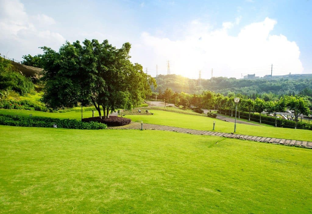
How Satellite Imagery Helps Manage Community Gardens
Having many people involved in caring for a community garden has both advantages and downsides. Consistent plant health tracking, and even more so spotting growth trends and responses to environmental changes, is difficult under such conditions. Satellite images, now widely accessible and affordable, can help monitor the garden as a whole and coordinate volunteers’ efforts.
Understanding Seasonal Growth Patterns
Plants follow seasonal patterns, but the timing and intensity of these phases can vary from year to year. NDVI and other vegetation indices available from Sentinel‑2 and commercial sources give all the necessary information for understanding seasonal growth patterns. By checking vegetation indices every couple of weeks, the gardener association can:
- compare current to past season’s growth;
- spot early signs of stress;
- see which areas grow faster or slower;
- identify where watering or soil care adjustments are needed.
Historical and current satellite images also help confirm whether planting dates align with the garden’s natural rhythm, so future sowings and rotations can be timed more accurately.
Monitoring How Weather Affects Plants
Plants, even within a small community garden, can react differently to weather conditions. For example, because the soil slightly differs in texture, irrigation has been uneven, or a building is shading some plants. Without advanced sensors on site, gardeners can turn to live satellite view to see:
- temperature changes that influence seed germination;
- amounts of rain, falling across the garden;
- areas that tend to hold water for longer periods;
- dry areas during a heatwave.
In other words, gardeners focus less on the weather itself and more on how it affects plants in different areas, and they can respond before damage sets in.
Spotting Sunlight Exposure And Shade Patterns
In community gardens, often located in housing areas, rooftops, or greenways, the difference between bright and shaded spots can be sharp. High-resolution satellite basemaps and sun-path tools show how much light each corner actually gets. They reveal when nearby houses, fences, or trees block the morning or afternoon sun and how these shadows move through the season.
With live satellite views, it’s easy to sort the garden into rough light zones, such as those with full sun, with mixed light, and shaded for most of the day. This is an excellent starting point for planning or rearranging a garden’s layout based on the light requirements of various plants; for instance, you could plant tomatoes and peppers in full sun and leafy greens in partial shade.
Detecting Soil Moisture Variability
Adjusting irrigation to plant requirements is one of the most important duties for gardeners, because a mismatch not only causes short-term water stress but can also promote root diseases and reduce crop yield.
Moisture-sensitive indices (e.g., NDMI), along with thermal and near-infrared layers, help detect where soil is dry/saturated. Though the exact moisture values may be uncertain at very small scales, you can identify water-distribution patterns, including dry areas along fences, overwatered near shaded trees, or poorly draining low-lying ones. Combine current satellite imagery maps and soil probes or visual checks to refine watering schedules and amounts.
Garden Planning And Maintenance With Satellite Imagery In Practice
Even small gardens can benefit from the current satellite view by using different spectral bands, index maps, and simple online tools to monitor plant health and plan interventions. Some of the common ways to use satellite imagery are:
- Planning crop rotations. Research on “pre-crop value” shows that satellite vegetation data can measure how past crops affect future ones. In practice, gardeners can export or screenshot seasonal maps, add notes like “beans failed here 2 years running,” and use that as evidence when planning new layouts each winter.
- Managing pests and diseases. Satellite-based monitoring can reveal potential pest or disease hotspots one to several weeks before clear visual symptoms. Thus, community gardeners can fix the problem with hand removal, biocontrols, or spot spraying instead of treating the whole garden with heavy chemicals.
- Improving collaboration among volunteers. A community garden can register its area as a “field,” let all members log in, and view the same crop health data. Shared satellite views make discussions less subjective: volunteers can point to a specific low‑index zone and more easily agree on the required interventions.
Bringing Everything Together
Community gardens often change hands week by week, and important details can get lost. Satellite imagery shows what actually changed since the last visit and, even more importantly, lasting trends and patterns in crop condition. Consistency in monitoring is what allows gardeners to plan better, keep garden work on track, and keep improving season after season.